The Landscape Ecology and Visualization Laboratory (LEVL) at the Wildlife Institute of India (WII), Dehradun, is a specialized research and training facility dedicated to applying advanced geospatial tools and landscape-level analysis for wildlife conservation and environmental management. The lab plays a critical role in understanding spatial patterns, ecological processes, and anthropogenic impacts across diverse ecosystems of India, with a focus on promoting evidence-based conservation planning and decision-making.
Objectives and Scope
LEVL functions with a multidisciplinary approach, integrating landscape ecology, geographic information systems (GIS), remote sensing (RS), spatial modeling, and data visualization. The primary aim is to develop robust spatial frameworks that support conservation strategies, habitat connectivity, ecological monitoring, and biodiversity assessments at multiple scales.
Key Functions
- Landscape-level Analysis: The lab undertakes large-scale spatial studies to assess land use/land cover change, habitat fragmentation, corridor viability, and connectivity across critical wildlife habitats including tiger reserves, elephant corridors, and biodiversity hotspots.
- Geospatial Support to Research and Management: LEVL provides technical support for mapping and spatial analysis to various research projects at WII. This includes delineation of wildlife corridors, identification of conservation priority areas, and human-wildlife interface studies.
- Ecological Modeling: Using advanced modeling tools such as MaxEnt, Circuitscape, and Zonation, the lab models species distribution, habitat suitability, and movement corridors to inform conservation policy and action.
- Visualization and Decision-Support Systems: LEVL also specializes in transforming complex spatial data into visual formats for better communication, stakeholder engagement, and decision-making. This includes dynamic maps, scenario modeling, and 3D landscape visualization.
- Capacity Building and Training: The lab conducts training programs for forest managers, researchers, and students on the use of GIS, remote sensing, and ecological modeling in conservation planning. It serves as a hub for hands-on learning and interdisciplinary collaboration.
Infrastructure and Tools
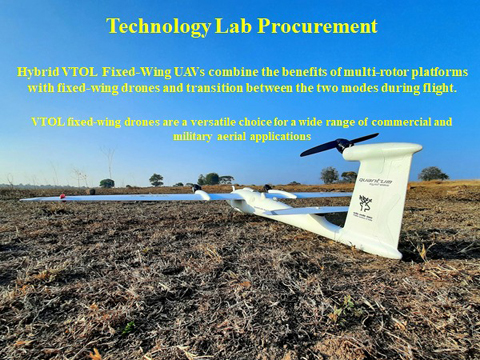
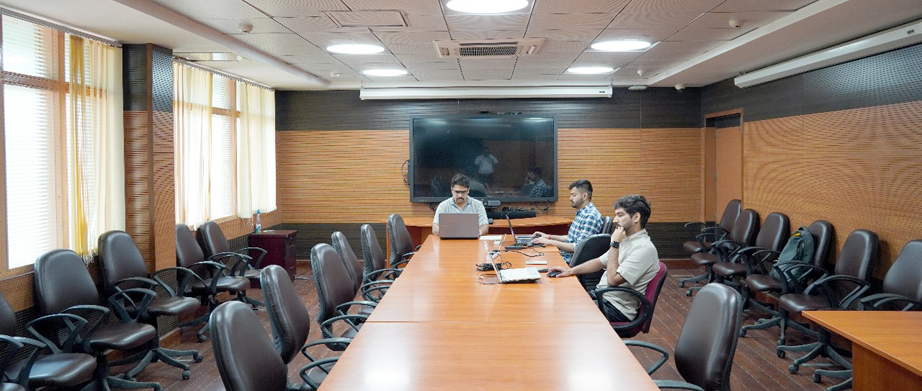
LEVL is equipped with high-end computing systems, advanced GIS and remote sensing software (ArcGIS, QGIS, ERDAS Imagine, Google Earth Engine), and tools for spatial statistics, modeling, and data visualization. The lab also uses drone imagery, LiDAR datasets, and high-resolution satellite data for fine-scale ecological assessments.
Major Contributions
LEVL has contributed to several nationally significant projects, including:
- Mapping and modeling of wildlife corridors under the All India Tiger Monitoring Program
- Spatial prioritization for the National Biodiversity Action Plan
- Identification of critical habitats for endangered species like snow leopard, elephants, and great Indian bustard
- Technical inputs to the Eco-Sensitive Zone (ESZ) delineation process
- Developing connectivity models for landscape-level conservation under climate change scenarios