 Information Technology, Remote Sensing and Geographic Information System & Audio-Visual facility is hallmark of institute to provide state of the art technology services relevant for wildlife research, education and training. The facility is available to the faculty members, trainees/researchers/students and collaborators working with the Institute.
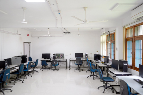
The computer facility by an extensive array of hardware setups connected to the Local Area Network (LAN) supported by high-end servers, Storage Area Network (SAN), and Network Attached Storage (NAS) systems, essential for the Internet, Intranet, database management, and library automation services. With more than 400 nodes and serving over 700 users.
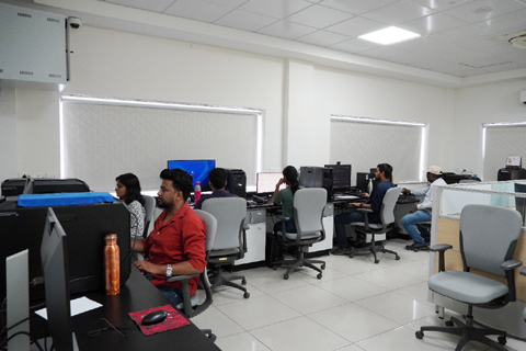
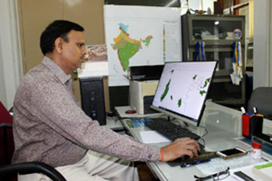
the WII LAN ensures smooth connectivity Programs and Events : The Remote Sensing & GIS Lab facilitates the Institute & research and training program. The laboratory is equipped with several high-end workstations, high-end scanner-cum-plotter, and software packages viz. ArcGIS, ERDAS Imagine/Drone image processing software for landscape-level analysis. A dedicated team provides support and training in IT and Geoinformatics for students of M.Sc in Wildlife Science, researchers, and trainees enrolled in Advanced PG Diploma and Certificate Courses in Wildlife Management.
Vision and Objective
Service provider for computer hardware and software related issues.
Major activities
- Train personnel at various levels on cutting edge technology
- Maintenance of internet, LAN, webportal, and spatial decision support system
- Information dissemination