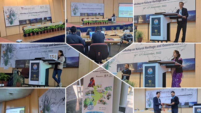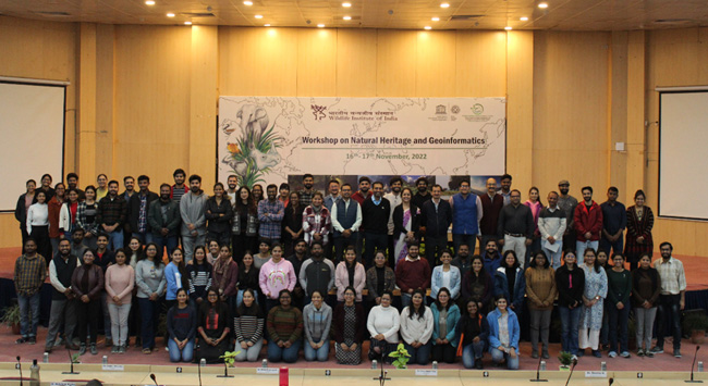


Celebrating GIS Day, WII-C2C organized a two days “Workshop on Natural Heritage and Geoinformatics” on 16- 17 Nov-2022, in an annual event that has become a highlight of WII’s calendar. Like past years, the number of registrations and participants in this event by researchers for researchers was more than 100 participants.
The event opened with Dr. Gautam Talukdar, Faculty In-Charge exhorting the young participants to be at the leading edge of technologies like GIS and Remote Sensing and develop path-breaking solutions. Mr. Niraj Kakati, Technical Officer, WII-C2C then guided the audience through some fundamental concepts of natural heritage and World Heritage as it is a combination of terms rarely understood together.
This was followed by an enthralling discussion fuelled by a stage where Dr. Ruchi Badola (Registrar, WII), Dr. Talukdar, Dr. Salvador Lyngdoh of WII, and Dr. Hitendra S. Padalia of IIRS Dehradun brought back memories of the first days of computerization and GIS in the Institute, while asking those present to look forward to an AI and ML-heavy future. Dr. Badola’s emphasis on the continuing importance of solid ground-truthing despite the latest technological advances underlined a fundamental tenet of good research. Dr. Hitendra Padalia, Head, Forestry and Ecology Department, IIRS then made a detailed presentation on the latest GIS developments for quantifying ecosystem services including Sun-Induced Fluorescence.
Mr. Debanjan Sarkar, Ph. D. Scholar, then showed the know-how and no-nos of making an aesthetic map choosing the Natural World Heritage Site of Kaziranga as his muse. Then it was the turn of Mr. Anuranjan Roy, WII-C2C, to take the audience on a journey to the origins of open-source and low-frills GIS. Mr. Dhruv Jain then proceeded to demonstrate the very important technique of Land Use, Land Use (LULC) classification in GIS. Ms. Sneha Pandey demonstrated the power of the Google Earth Engine tool through a sample NDVI calculation.
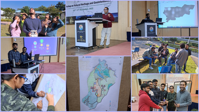
On Day 2, a presentation and demonstration of drone flying, within the auditorium and on the WII sports ground by Mr. Ankit Singh and Mr. Ravi shared very relevant field experiences about obtaining permissions to fly drones in and around protected areas.
A series of researcher presentations on their utilization of GIS followed: Mr. Nishant Kumar talked about his study of black kites and their urban environments; Neeraj Mahar on the study of decadal land use land cover in Ladakh; Ms. Moumita Chakraborty on her project to study the elusive red panda; a presentation on dolphins and changing river morphology by Ms. Dipa Taye; Mr. Ayan Sadhu talked about modeling tiger connectivity corridors in semi-arid landscape; Mr. Krishna Murari presented on the conservation of rhinos with reference to Valmiki Tiger Reserve; Mr. Udhaya Raj brought up the important technique of layer stacking satellite data and Ms. Aishwarya Ramachandran provided a thorough outlook of using geospatial tech for river ecology.
Post lunch, Dr. Anukul Nath of WII-C2C guided a hands-on session for all the participants to perform basic raster calculations like GLM and prediction. This was followed by Dr. Chitiz Joshi of WII-C2C demonstrating predictive LULC modeling in the context of mangroves while Ms. Anindita Debnath of WII-C2C introduced the audience to the InVEST model of simulating climate change.
The day ended with a couple of fun activities where teams formed out of the audience participated in a time-based online quiz and rolled back the years to their childhood, using coloured pencils to fill maps of WII bringing their artistic creativity to the fore, followed by prize /certificate distribution.